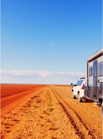
This Map pack covers Outback Queensland with the maps Southwest Queensland, Diamantina Lakes and Plenty and Sandover Highways. The maps feature the network of roads called the Adventure Way from Toowoomba to Innamincka bordered by Windorah to the NW, Augathella to the NE, Barringun on the NSW/Qld border to the SE and Cameron Corner to the SW. All access roads into Innamincka are also detailed. Diamantina Lakes covers Channel Country from Winton to Birdsville. The Plenty and Sandover Highways cover the roads from Mt Isa, Boulia and Birdsville through to Alice Spice in the Noether Territory.
These maps have been field checked with GPS and contains Lat/Long grid & GPS co-ordinates, detailed roads and tracks, National parks and reserves, heritage and tourist information and specific 4WD, caravan and camping information.
All Westprint maps contain notes on history, explorers, points of interest, surrounding flora and fauna and contain various photos of landmarks. The maps are very clear to read and have road distances, rest areas, caravan parks and fuel outlets noted
In Stock

Mastercard

Visa
Afterpay

Paypal

Applepay
Description
Specifications
South West Queensland 4th Edition
Diamantina Lakes 2nd Edition
Plenty and Sandover Highways 4th Edition
Field Checked with GPS
Detail roads and tracks
National Parks and Reserves
Specific 4WD, caravan and camping information
Cultural, historical and tourist information
Informative text about the region
Have a Question About This Item
Thank you, your enquiry has been received and our team will be in touch!
Product Terms & Conditions
