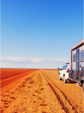
Explore the stunning landscapes and attractions of the Birdsville and Strzelecki tracks with the Birdsville & Strzelecki Tracks Map from Westprint Maps. This magnificent area of outback Australia stretches from Betoota in the north, through Birdsville, and south to Marree. The map also covers routes from Birdsville to Innamincka and Cameron Corner to Tibooburra in NSW, a popular entry point to this region north of Broken Hill.
The Birdsville & Strzelecki Tracks Map is the perfect guide for those embarking on an outback adventure in this region. Featuring detailed road and track information, GPS coordinates, distances, fuel stops, camping areas, and other useful information, this map is ideal for those travelling by 4WD or on foot.
Symbols on the map refer to textual information provided on the back of the map, explaining each point of interest, surrounding flora and fauna. The back of the map contains additional information to make your journey more informative and enjoyable. This includes details on the history of the tracks, attractions along the way, and the flora and fauna you can expect to see. You'll also find helpful tips on safety and planning your trip, along with contact details for local services and emergency services.
The Birdsville & Strzelecki Tracks Map contains GPS readings for the popular Birdsville Track, once a notorious route but now easily traversable by 4WD.
In Stock

Mastercard

Visa
Afterpay

Paypal

Applepay
Description
Specifications
8th Edition
Scale 1:1,100,000
Field Checked with GPS
Detail roads and tracks
National Parks and Reserves
Includes Birdsville, Maree, Innamincka, Lyndhurst, Betoota
Specific 4WD, caravan and camping information
Cultural, historical and tourist information
Informative text about the region
Have a Question About This Item
Thank you, your enquiry has been received and our team will be in touch!
Product Terms & Conditions

